See Earth change. Find the evidence.
EarthXLab is an educational web app where learners explore real satellite imagery, compare planetary change over time, draw observations, answer questions, and earn mission certificates.
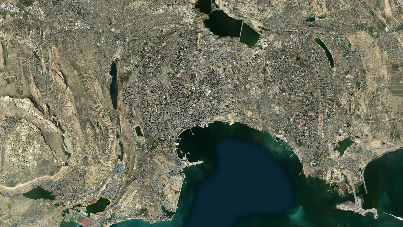
A city changes before anyone names it.
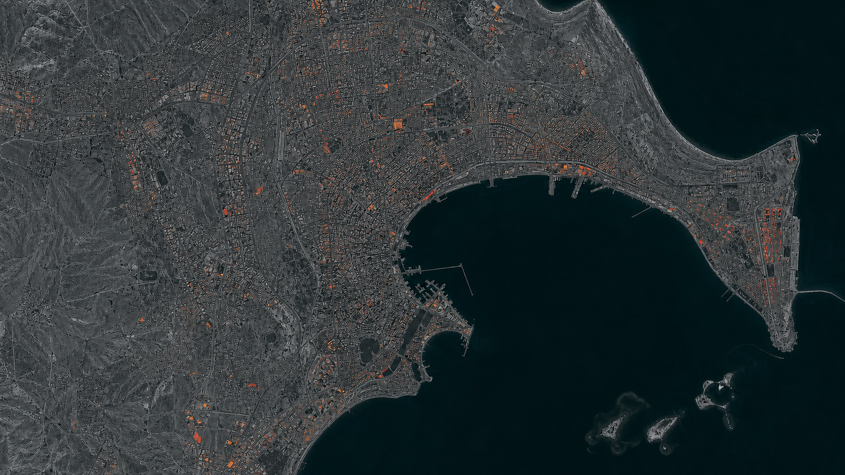
See Baku in
2014 and now.
Move the line to compare real historical and current imagery of the same place.
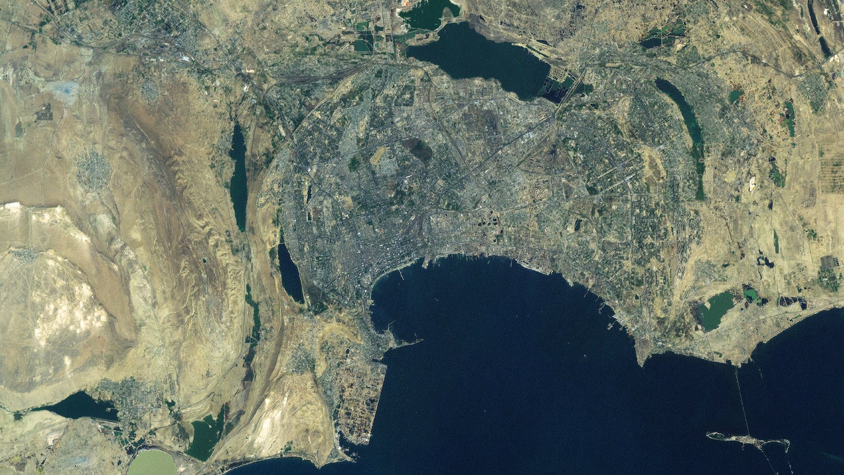 2014Archive imagery
NowCurrent imagery
2014Archive imagery
NowCurrent imagery
Old map Same place New map
Esri World Imagery Wayback (2014-02-20 release) and current World Imagery. Imagery capture dates vary. © Esri, Maxar, Earthstar Geographics.
See what
is there.
Separate what
was built.
Measure what
changed.
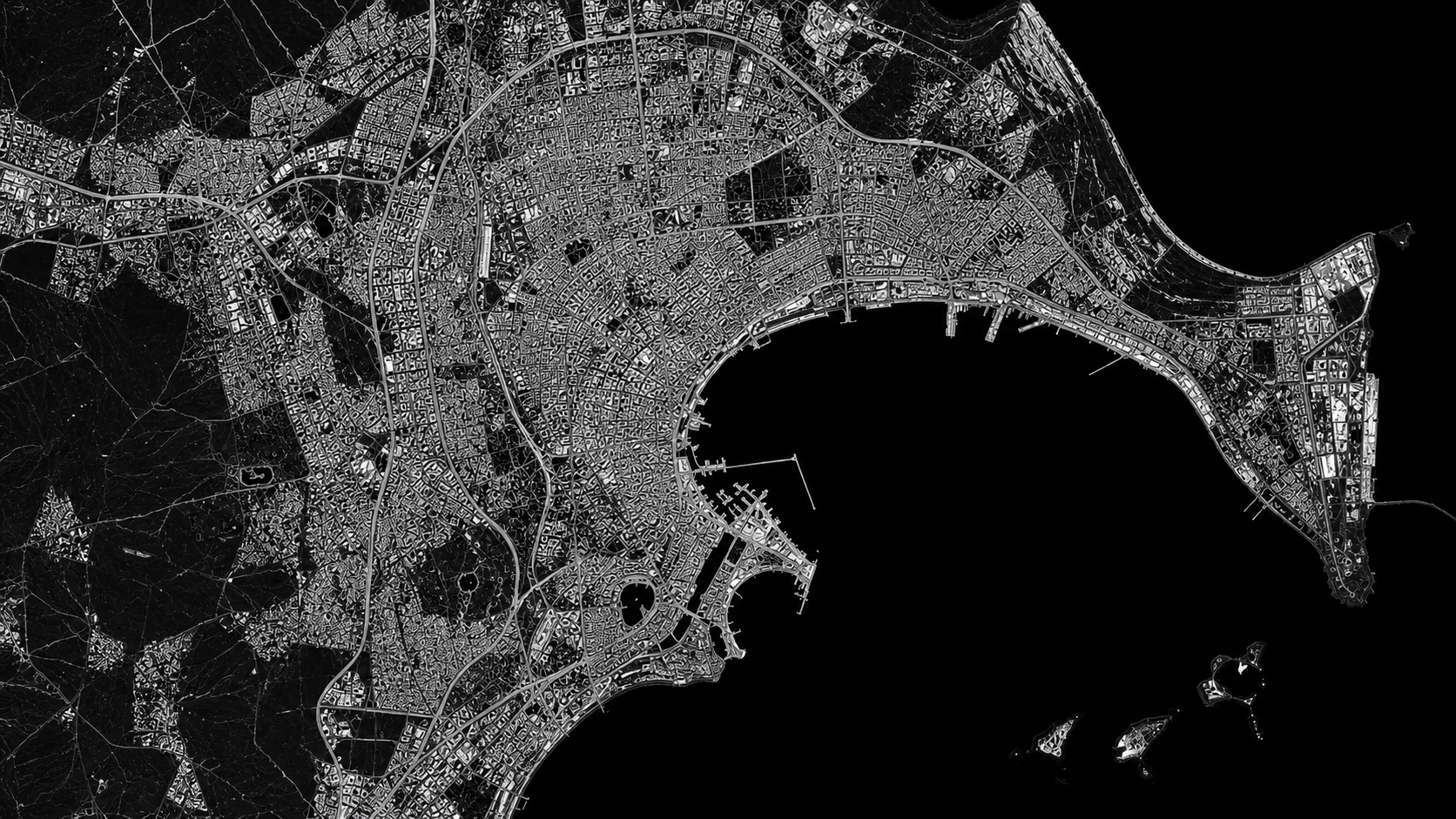
The city grew.
The evidence stayed visible.
Open the study
Observation
should be
repeatable.
About EarthXLab
EarthXLab teaches evidence-based planetary science through guided, interactive missions. Learners study satellite imagery, complete hands-on observations, answer assessment questions, and receive a completion certificate.
An account keeps mission progress connected to the learner. Google Sign-In is used only for basic account authentication; EarthXLab does not request access to Google Drive, Gmail, Calendar, contacts, or other Google services.
How EarthXLab uses account data