
Added shoreline
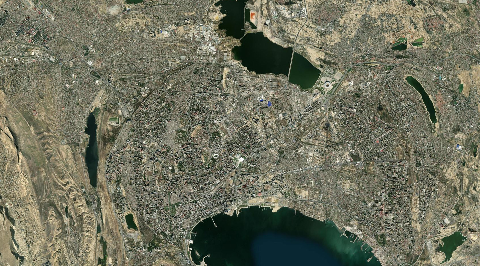
Trace where the city's edge extends farther into the Caspian between the two views.
EarthXLab's Baku study compares Esri World Imagery Wayback's 2014 archive with the current World Imagery mosaic. Learners describe what changed before explaining why it may have changed.
Move the line to inspect the same urban area at two dates. Keep the location and scale consistent, then describe only what the imagery supports.
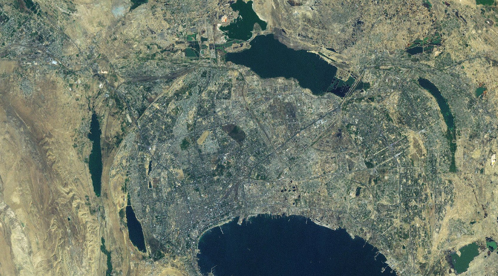
 2014 archive
Current mosaic
2014 archive
Current mosaic
Trace where the city's edge extends farther into the Caspian between the two views.
Separate newly visible development from water, vegetation, and older urban fabric.
Follow transport and infrastructure patterns that link growing areas across the city.
A careful investigation separates visible evidence from the story used to explain it.
Check the date, location, coverage, and scale before comparing two images.
Draw around precise areas of change and describe their shape, position, and extent.
The imagery can show what changed. Explaining why requires further evidence.