
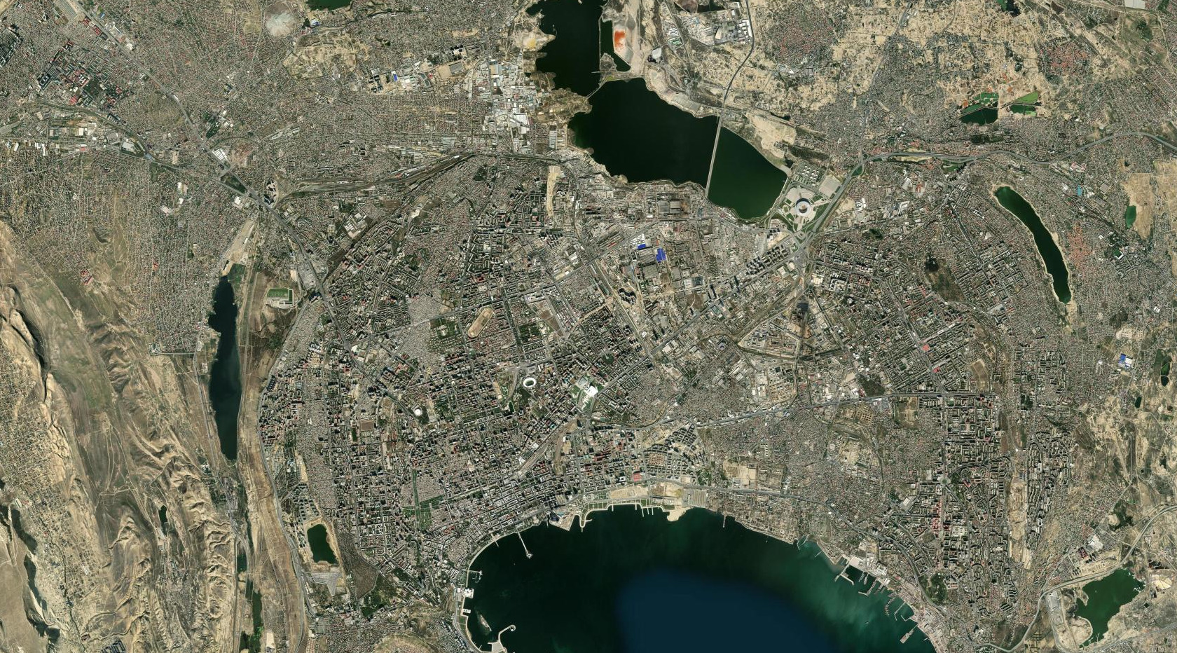
Observe
Begin with one view. Locate land, water, vegetation, and built surfaces without rushing to explain them.
Every EarthXLab mission follows a clear investigation sequence: observe closely, compare change, record evidence, and check understanding.
The sequence slows the first look down, gives comparison a purpose, and connects every conclusion to something visible.
Begin with one view. Locate land, water, vegetation, and built surfaces without rushing to explain them.
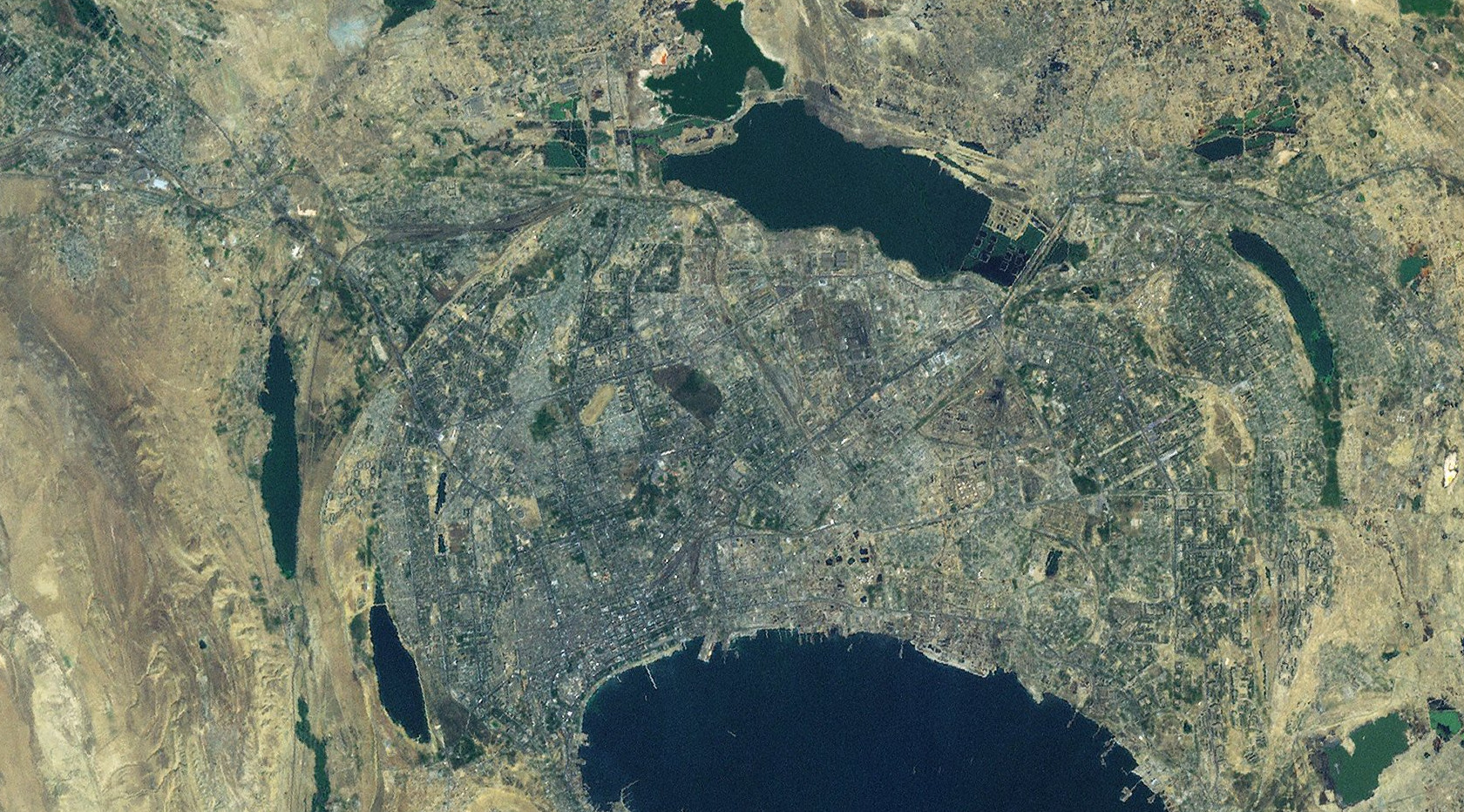
Place dates side by side and look for differences in position, shape, texture, and extent.
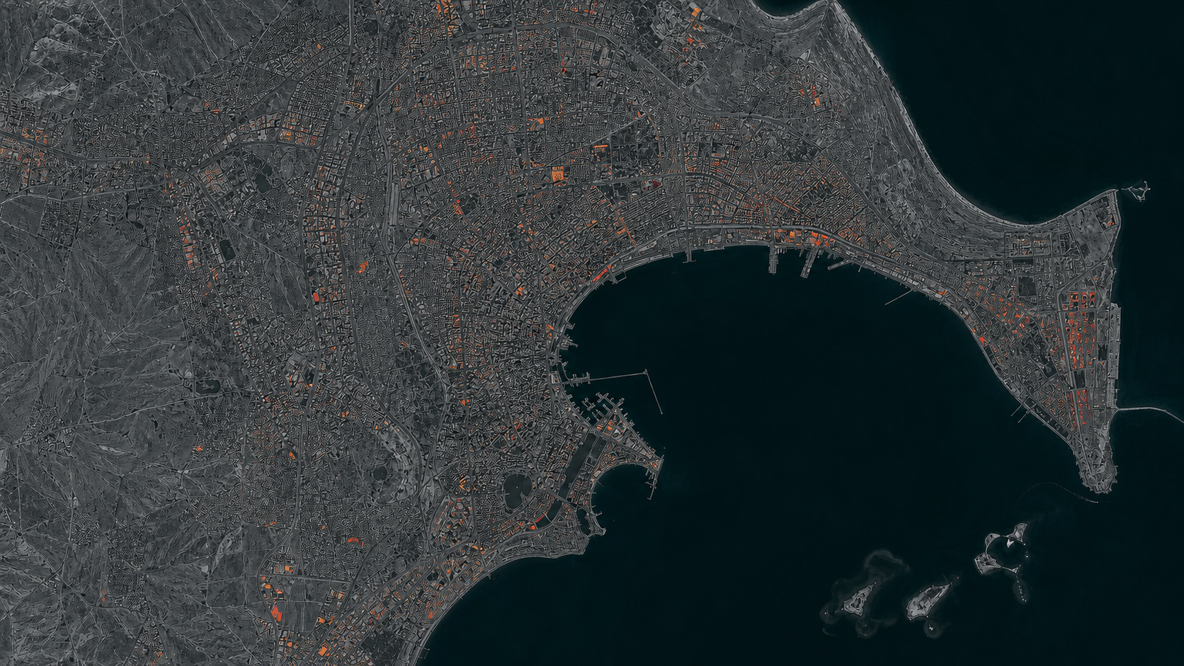
Draw, label, and write observations so every claim points back to visible evidence.
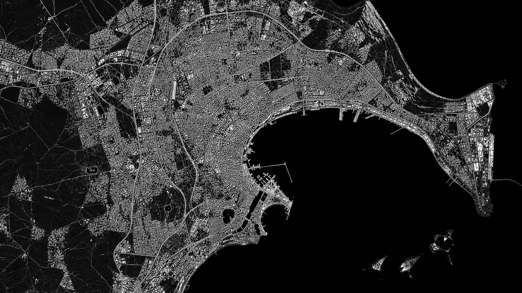
Answer focused questions and review explanations that connect the response to the imagery.
The same structure supports a new location without turning the investigation into guesswork.
Each stage asks one focused question so learners know what evidence to seek.
Comparing, drawing, and writing make the evidence part of the learner's own reasoning.
Review connects an answer to the image instead of stopping at right or wrong.